
Building the world’s first global encyclopedia of our Earth’s natural and artificial materials.
A new way to see.
one Earth | 20 quintillion life forms
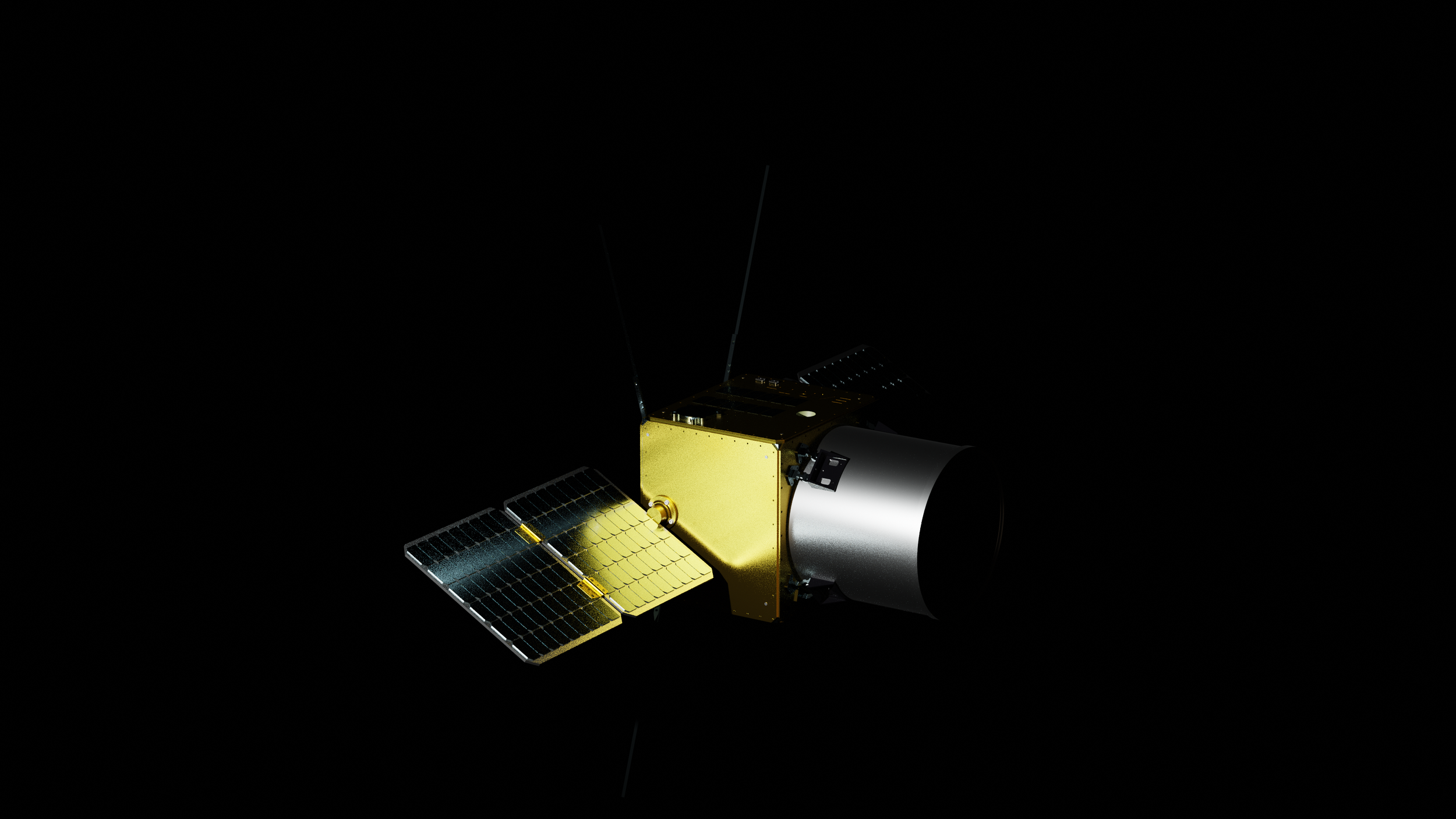
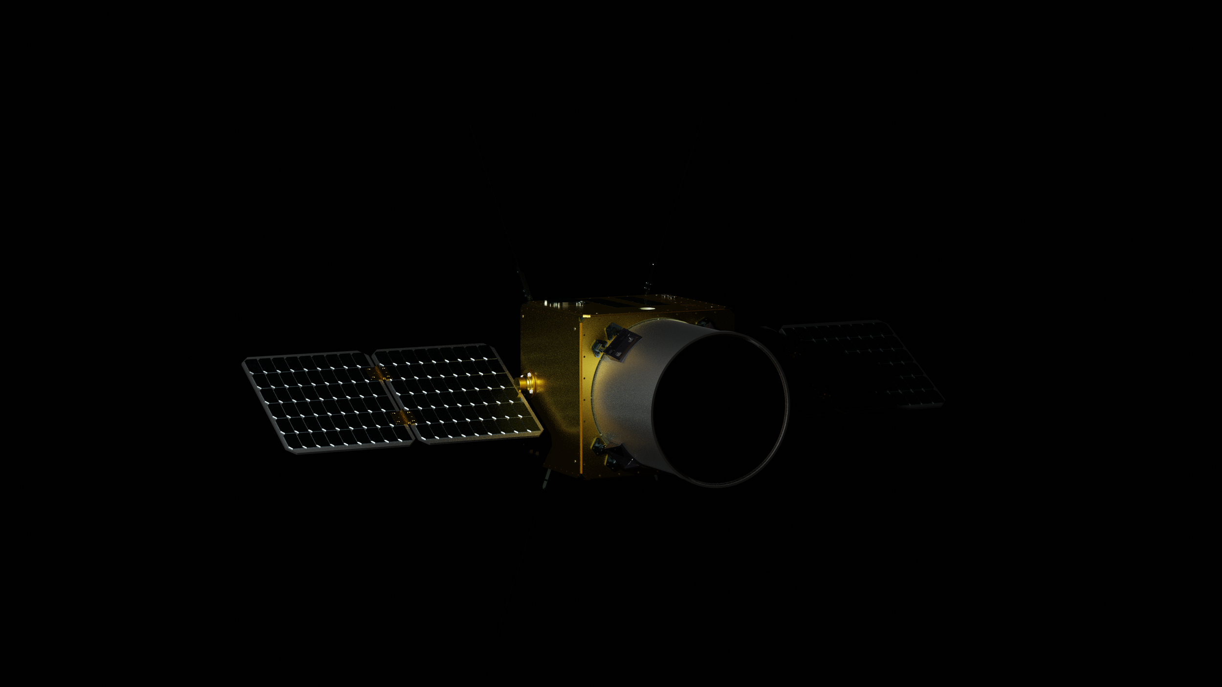
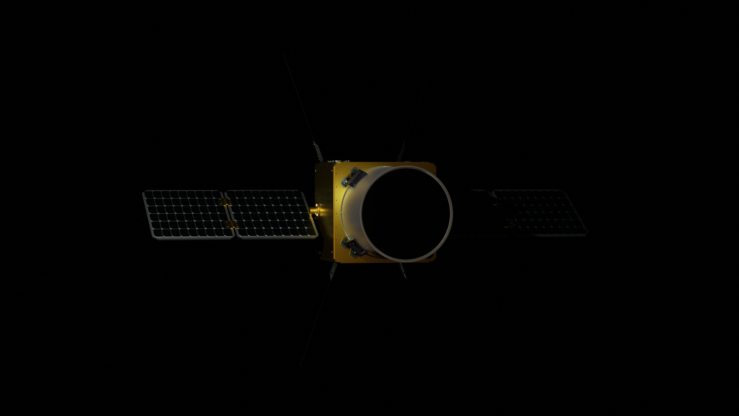
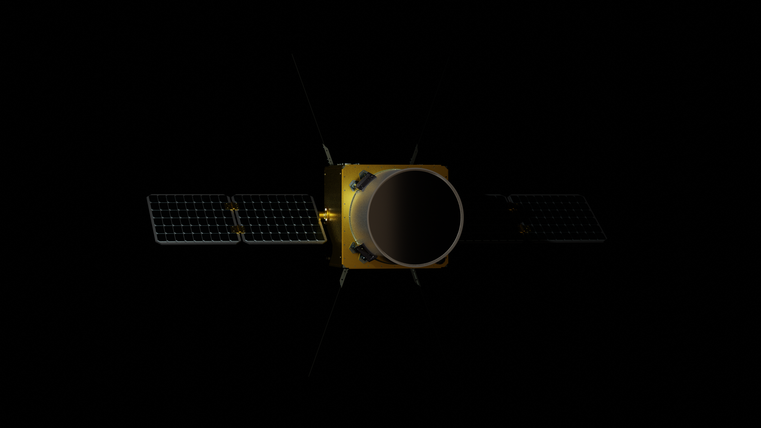
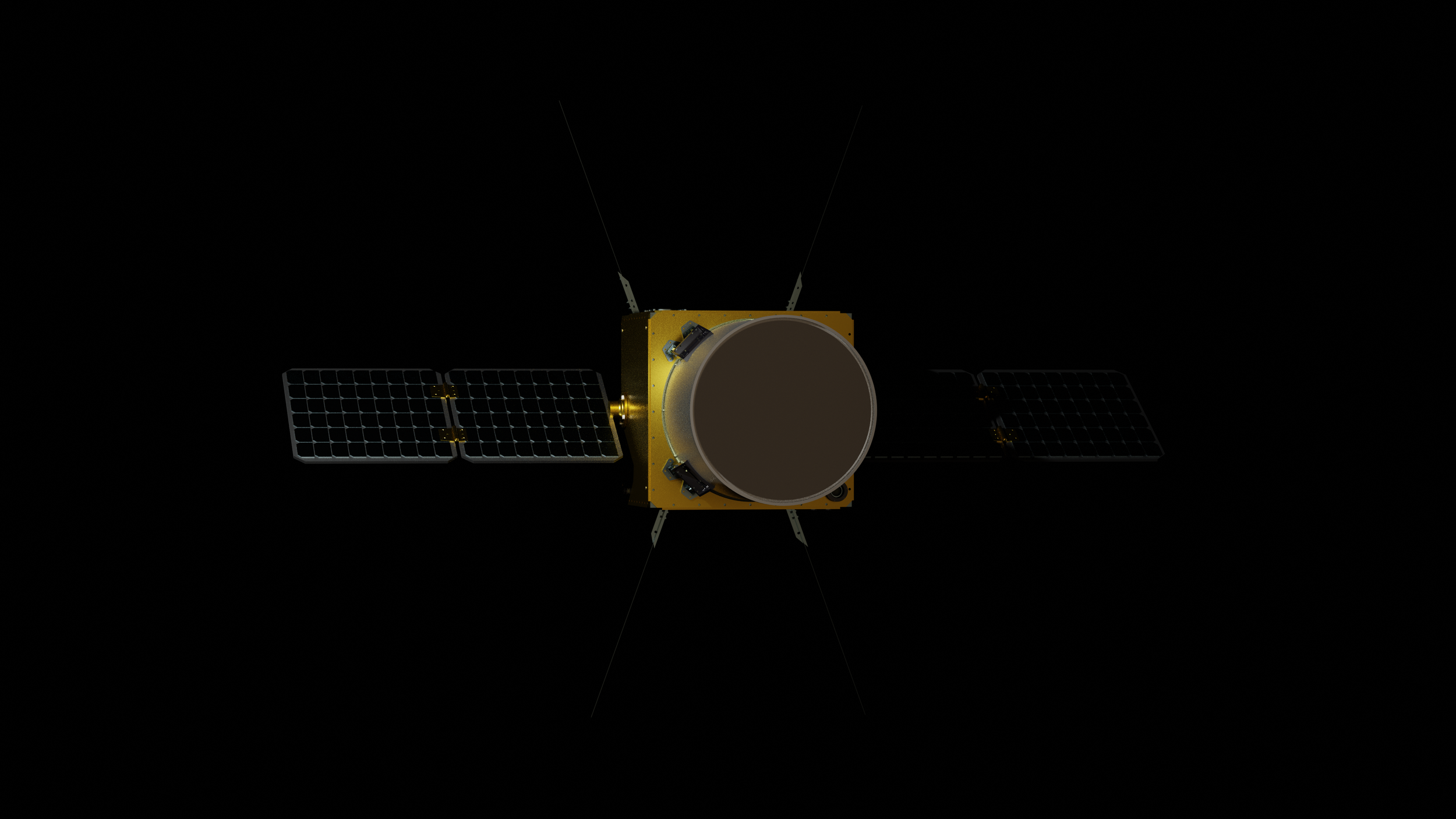
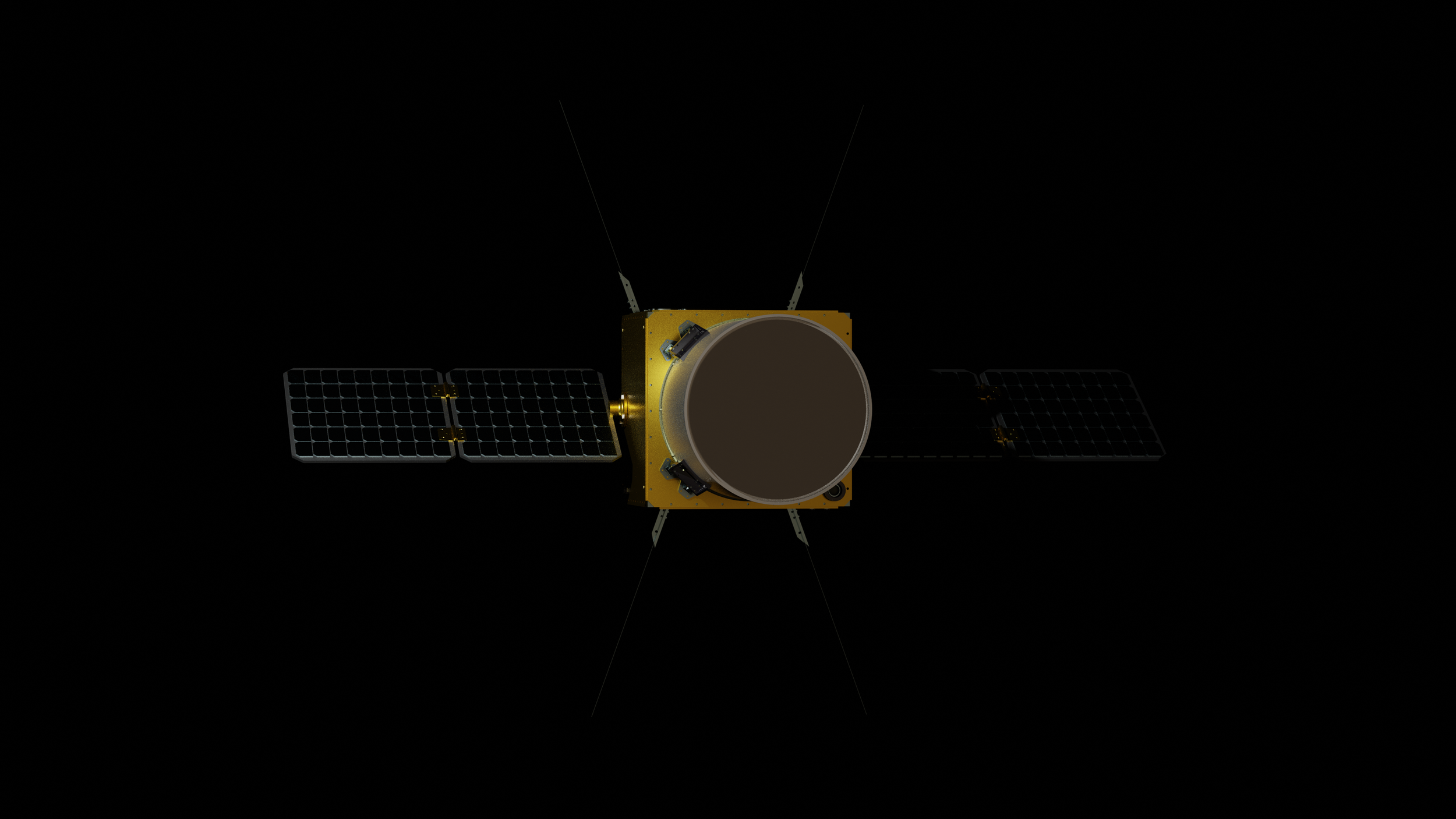
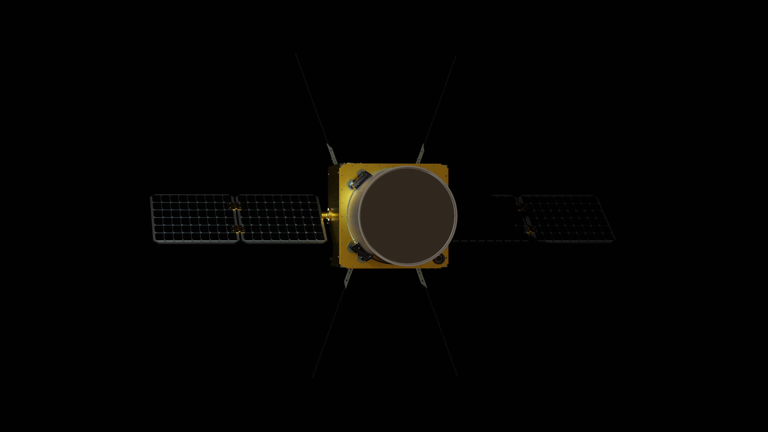
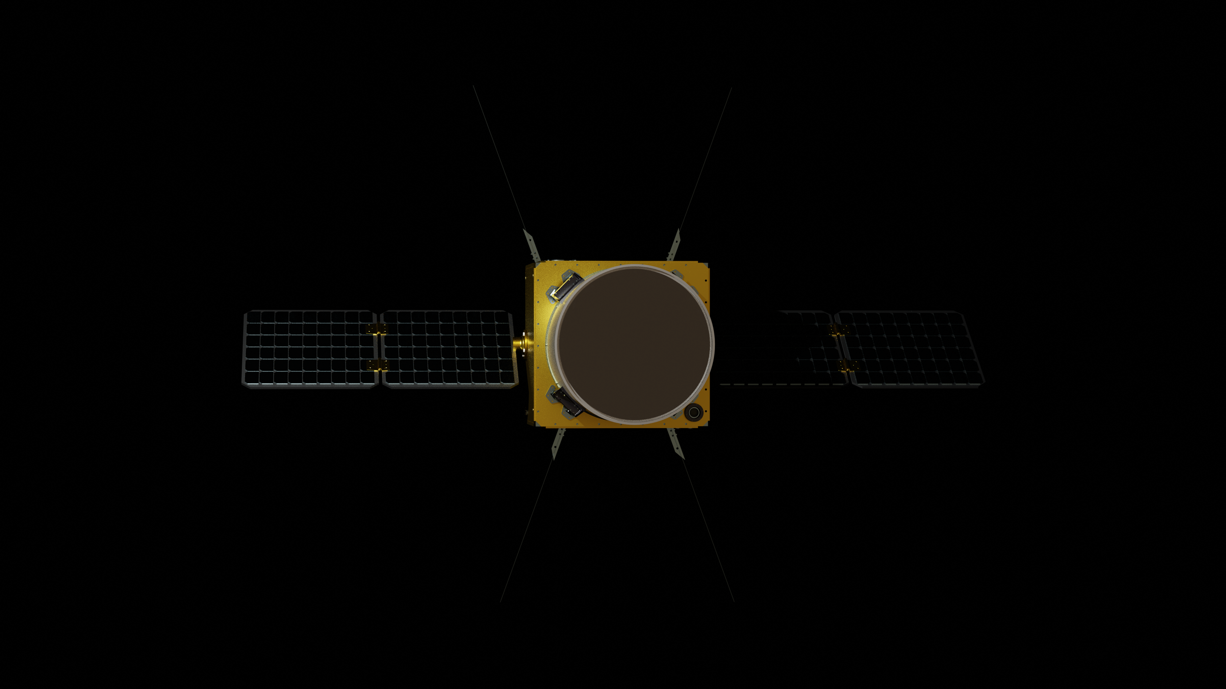
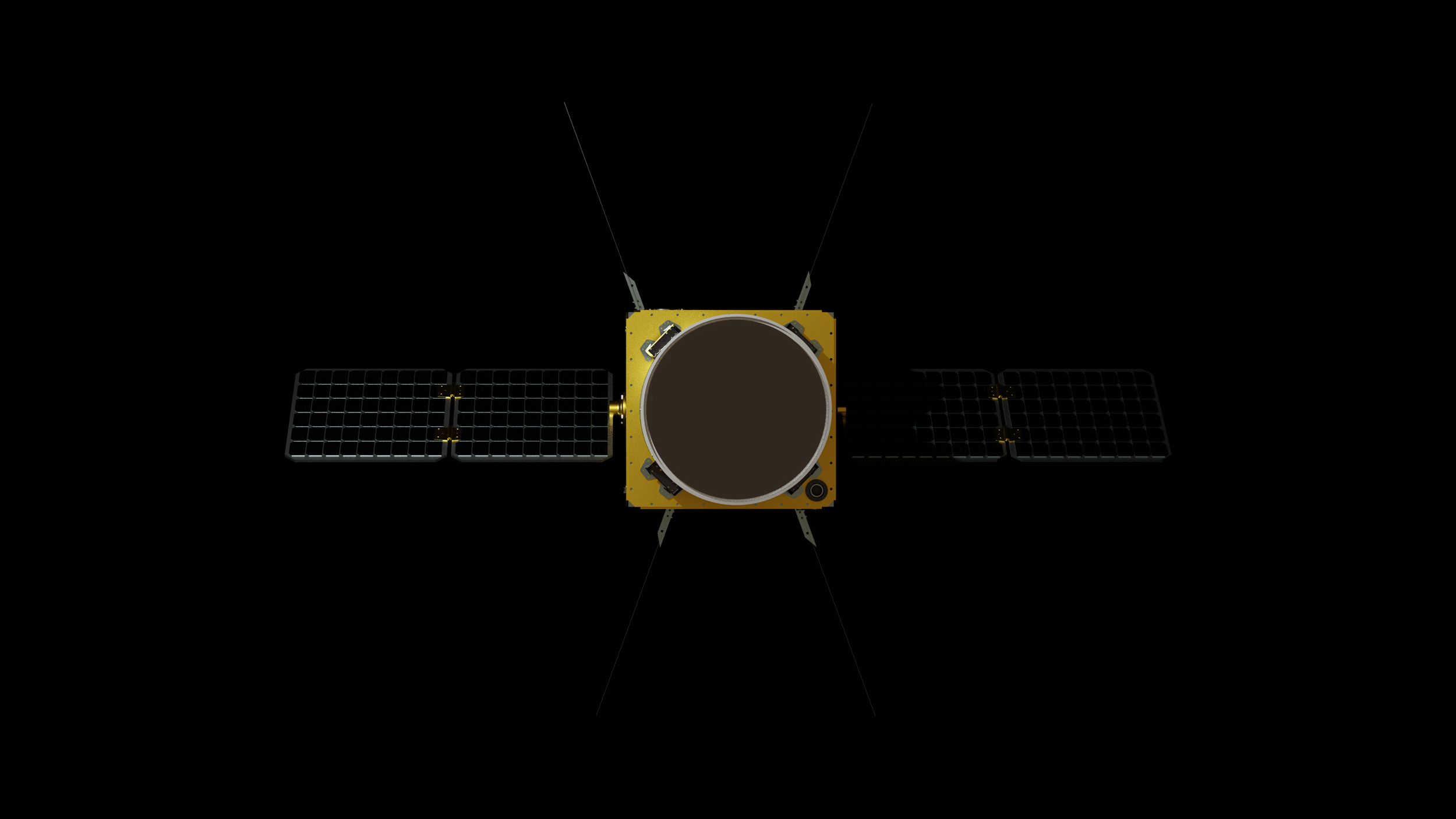
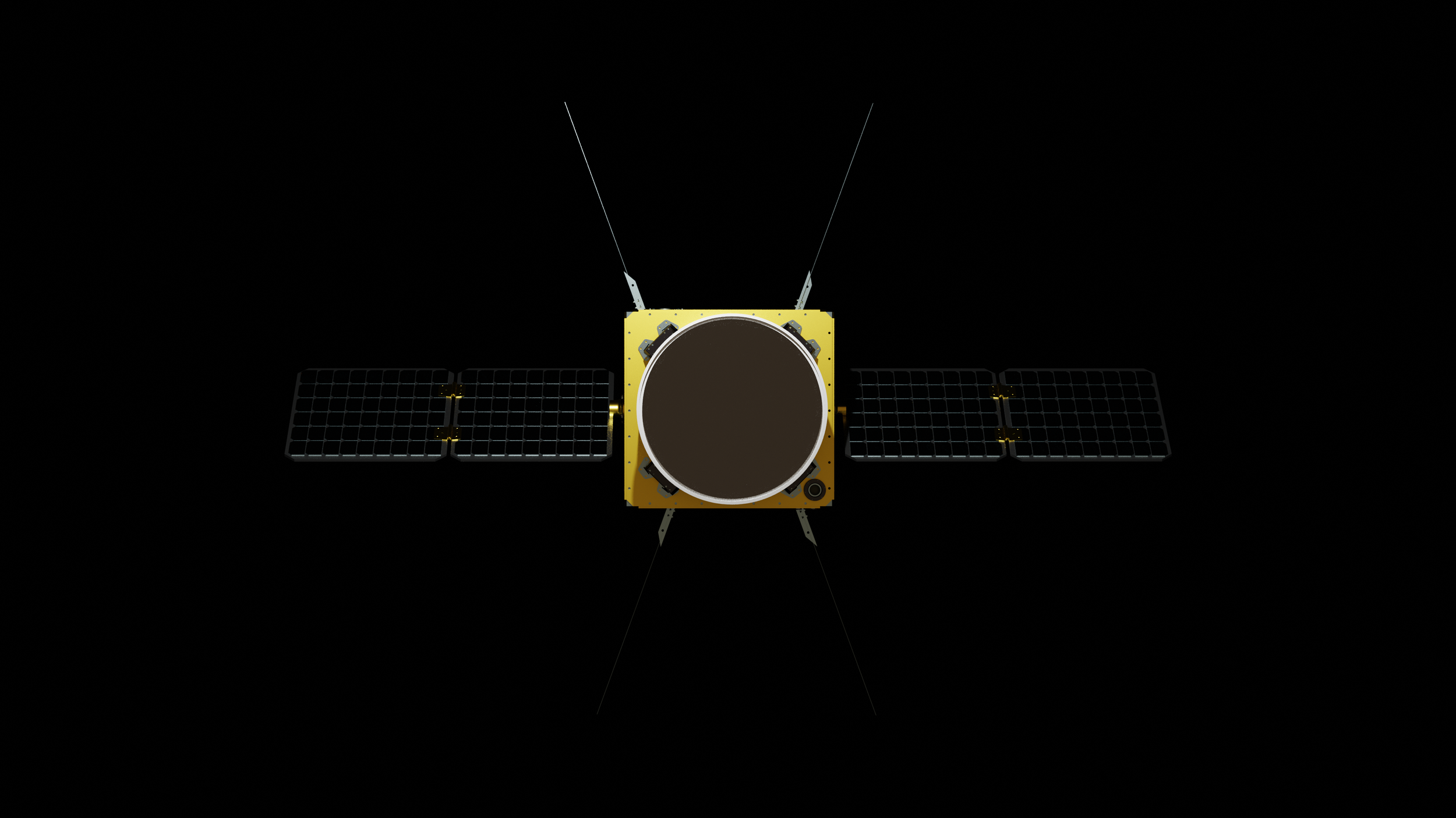
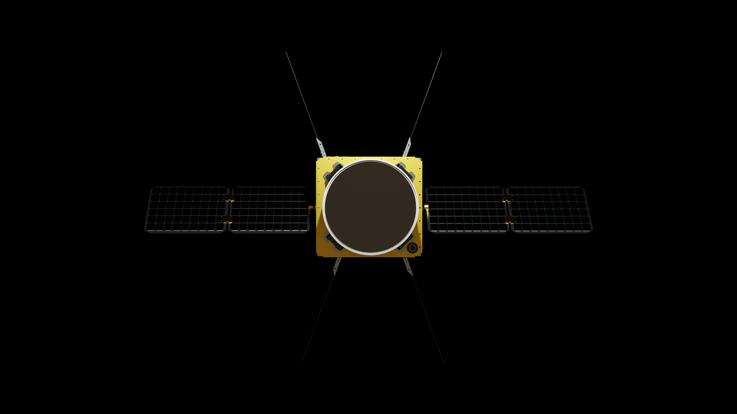
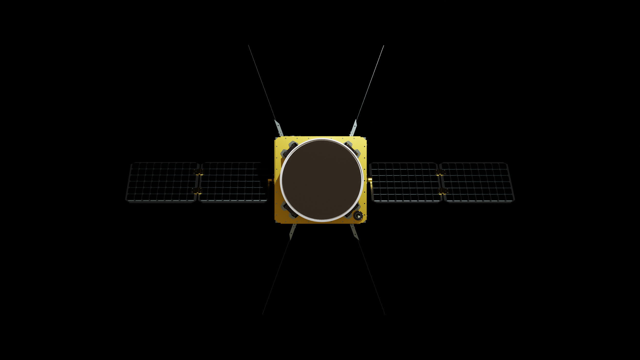
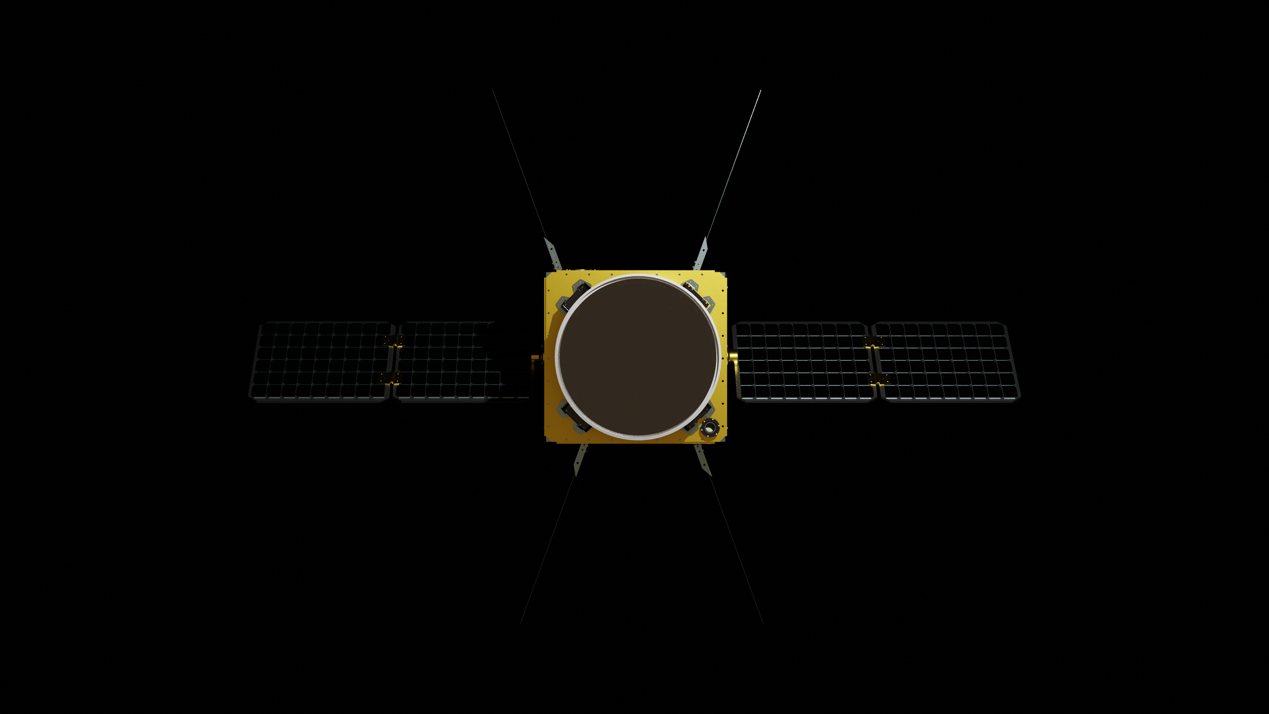
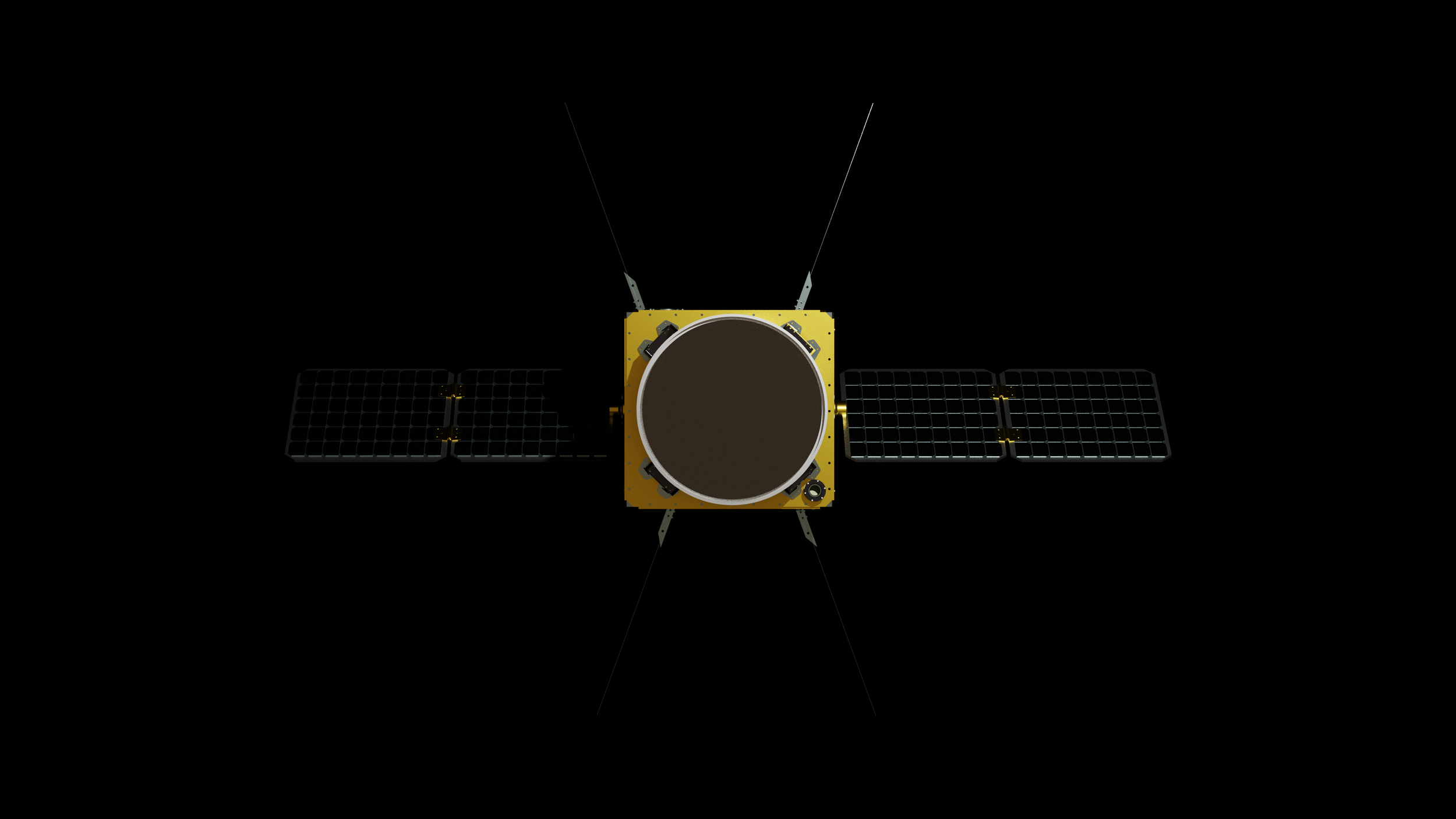
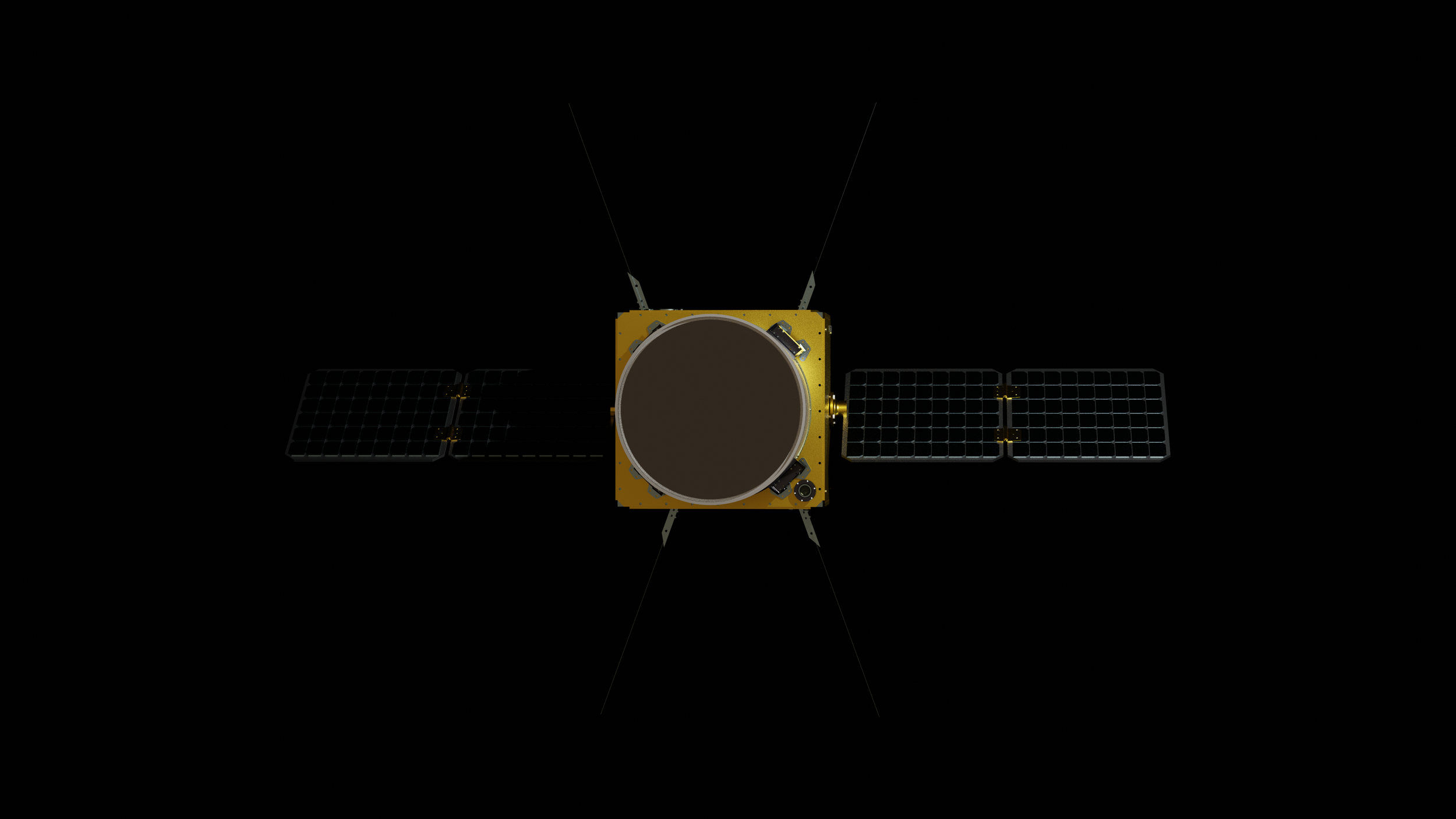
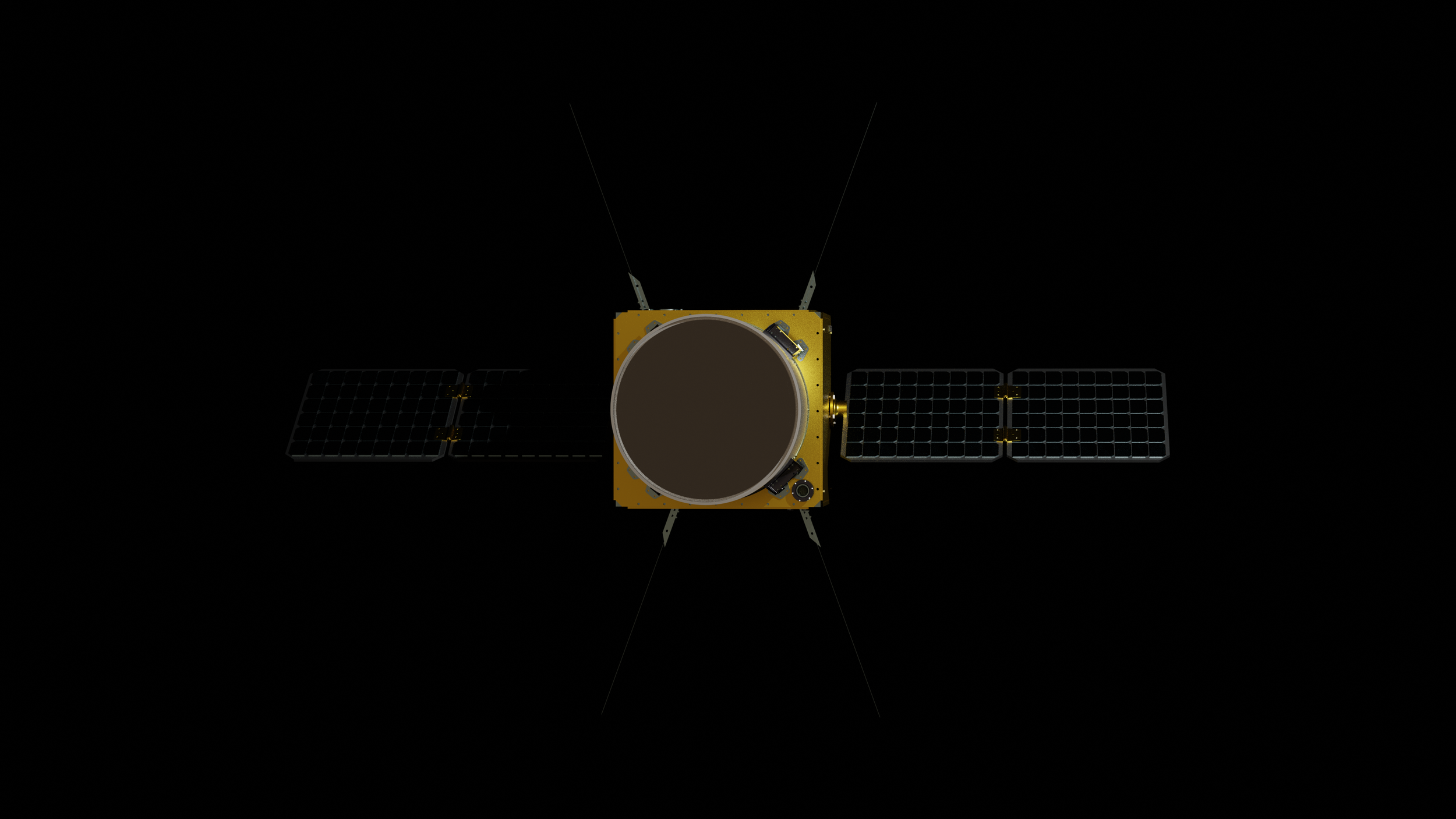
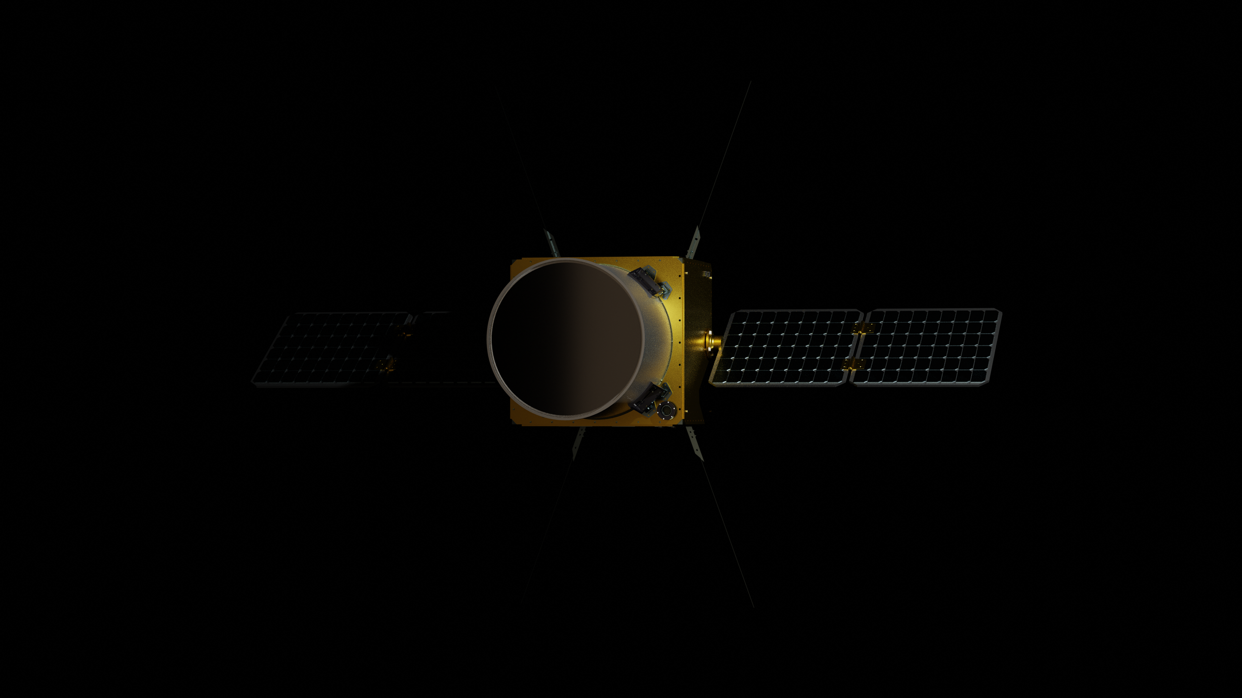
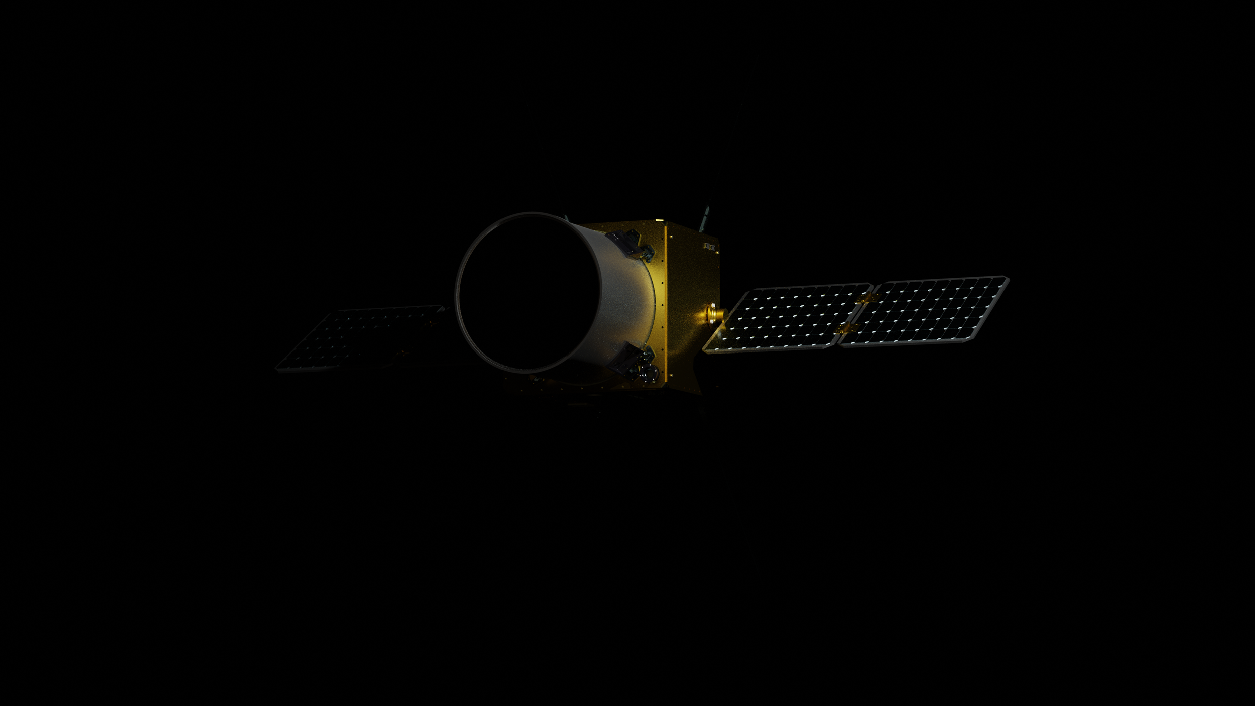
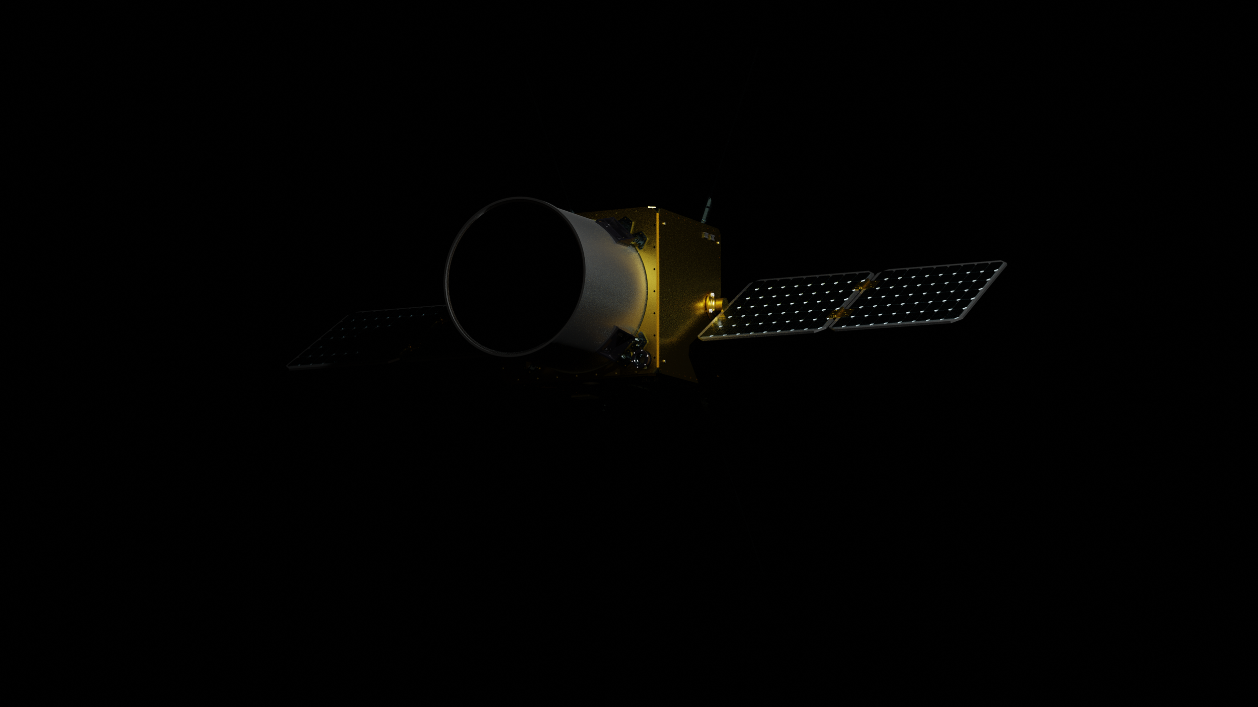
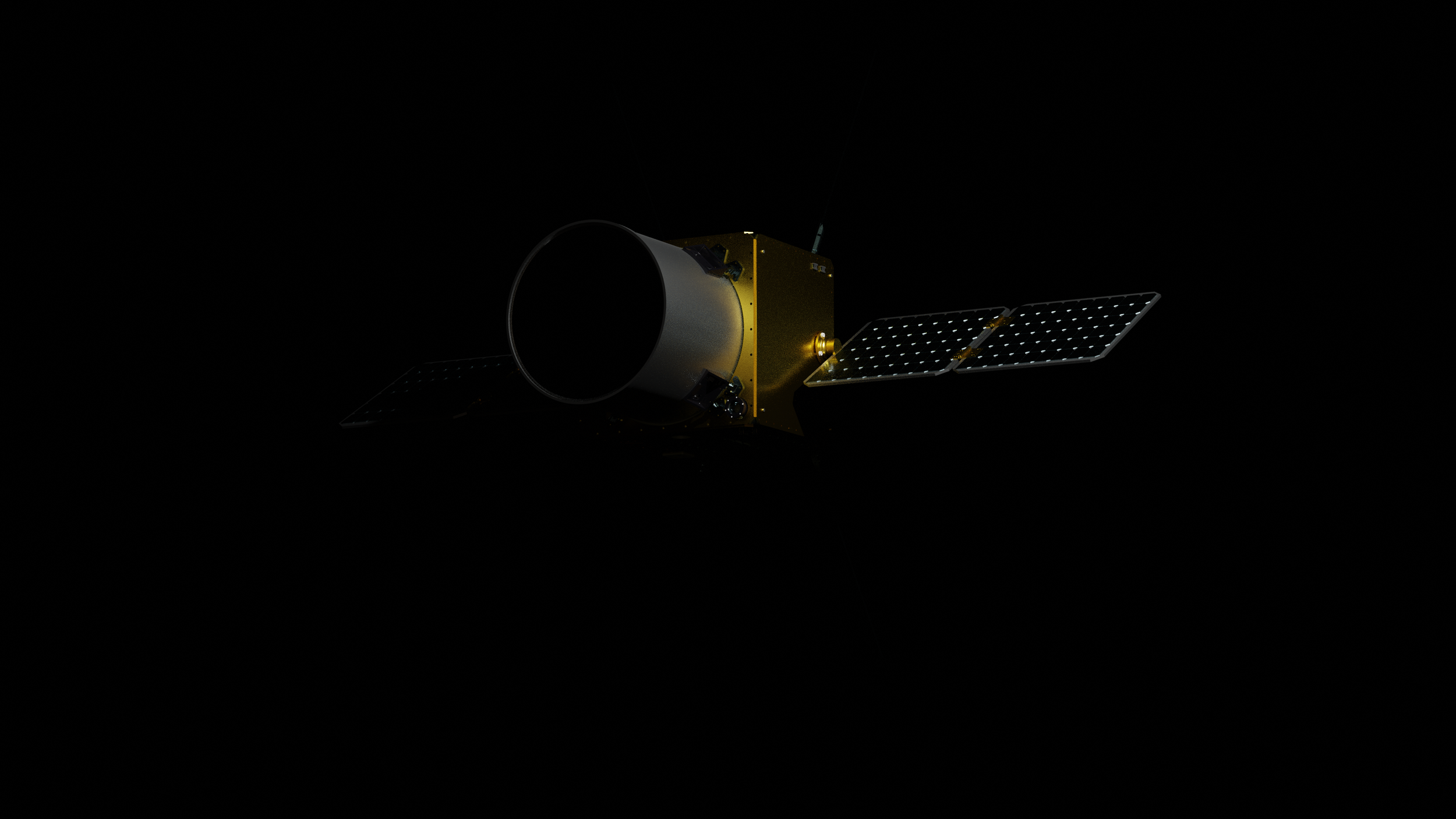
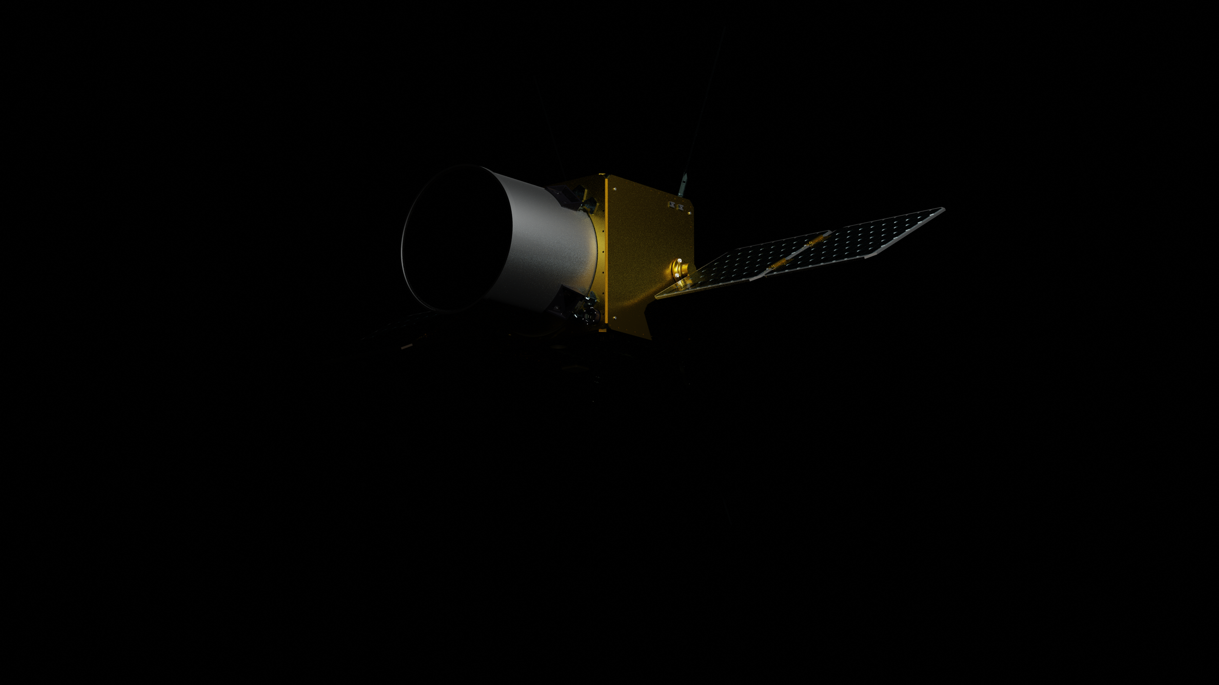
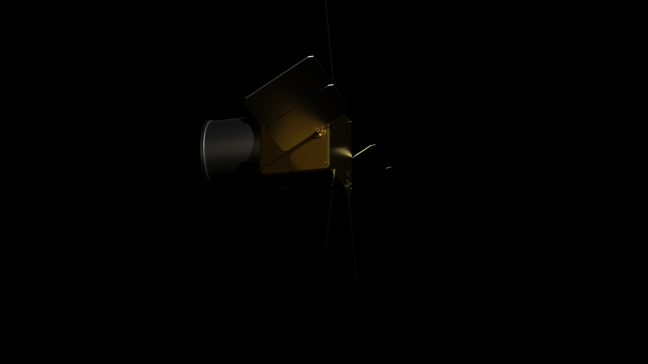
Explore our Earth through a new lens with a one of a kind satellite constellation.
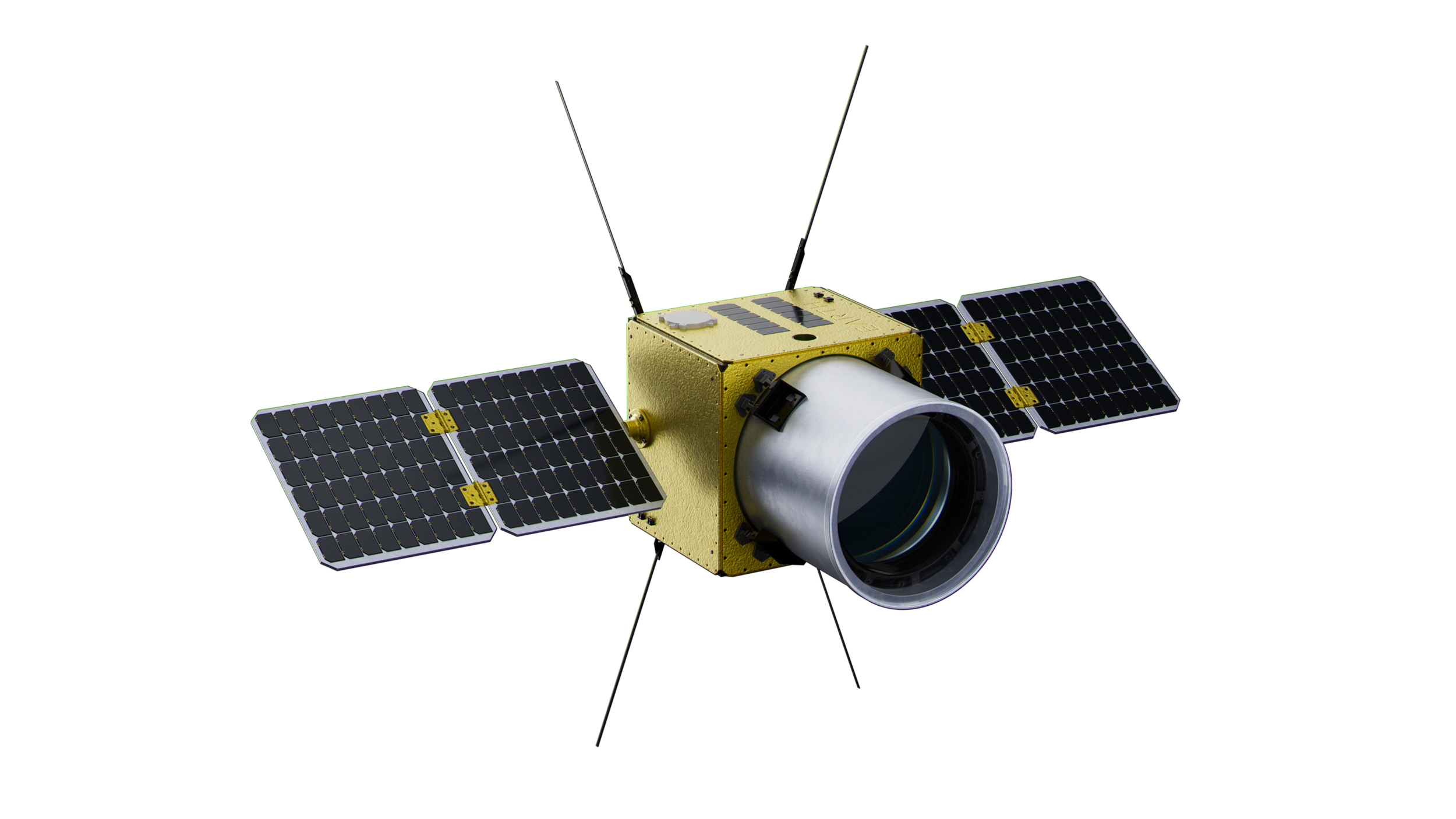
Highest spectral and spatial resolution ever.
NEW HYPERSPECTRAL SPECTROMETER
3-10x
Spatial resolution compared to other hyperspectral instruments
<5 nm
Very high spectral resolution
100x
Information density of typical EO images
INDUSTRY NEEDS HIGH PRECISION HYPERSPECTRAL DATA
Nobody has provided commercially viable hyperspectral images or the tools to understand them.

Companies aren’t just interested in images—they’re interested in the questions that images answer.
GEOSPATIAL DATA FUSION & NLP
Discover more about the materials in areas of interest from simple questions.
Our engine allows analysts to get answers to text-based queries by fusing geospatial data with machine learning models.
Our AI-driven analytics will empower institutions to protect, preserve, and predict the future of our planet.


Explore Earth’s change through a new lens and AI powered hyperspectral techniques. With our datasets, you can:
BEYOND AN IMAGE
-
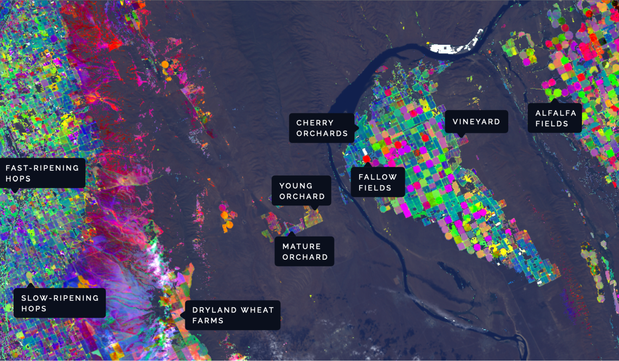
Classify and characterize vegetation species anywhere on Earth. Mining, agriculture, trading, and government customers around the globe can get near real-time analytics on inventory health.
-
Precisely measure surface and canopy moisture levels on any part of the globe. Mitigate wildfire risk and droughts.
-
Automatically track greenhouse gas emissions on a global scale.
-
Identify and map natural and artificial materials. Measure surface mineralogy and monitor mining sites. Track concentrated ocean plastics. Identify camouflaged objects and subpixel-materials with spectral unmixing.
SATELLITE IMAGERY HAS BECOME CRITICAL FOR MANY GOVERNMENTS AND INDUSTRIES.
However, today’s images don’t reveal everything about what is on the surface.
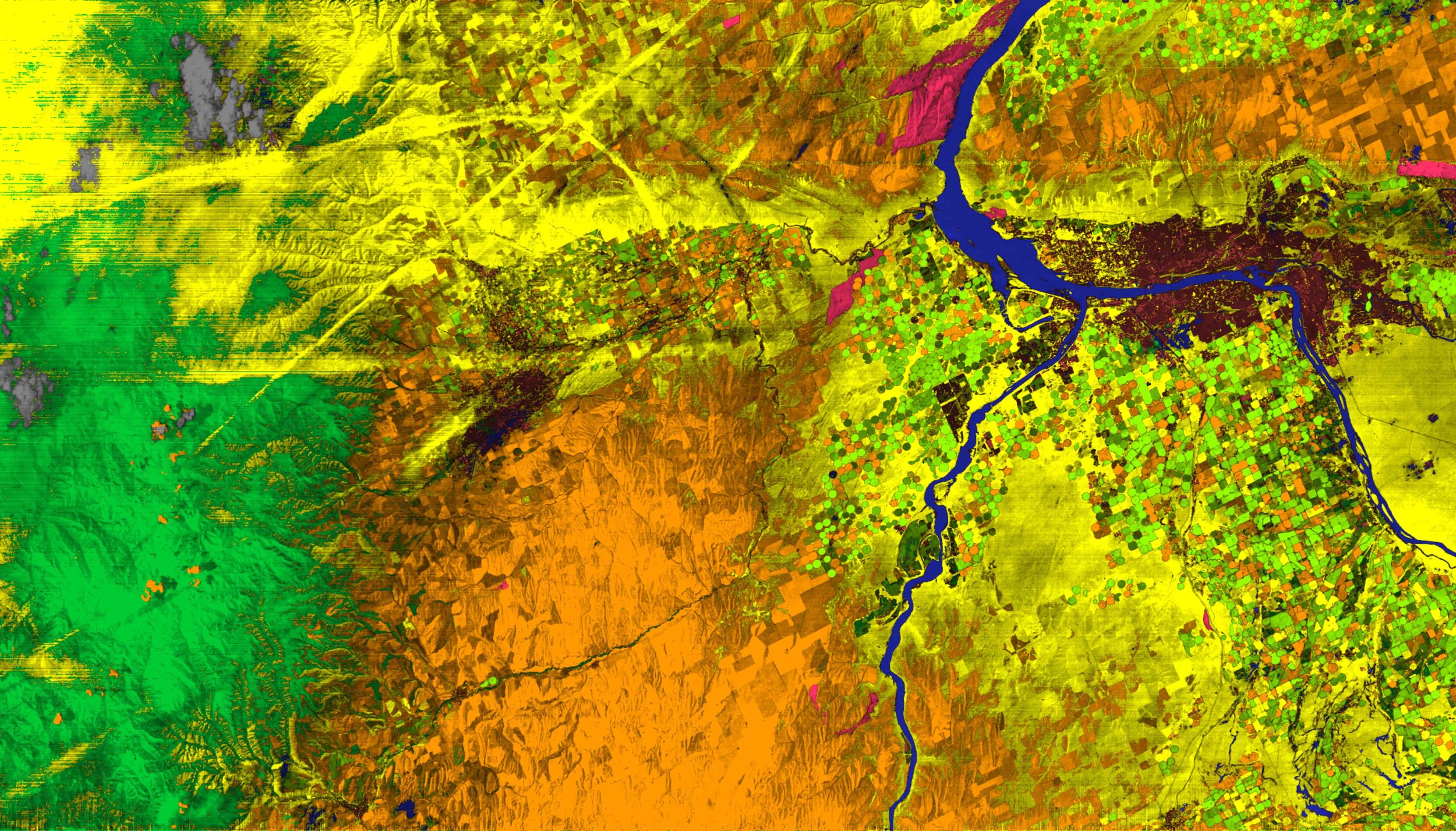
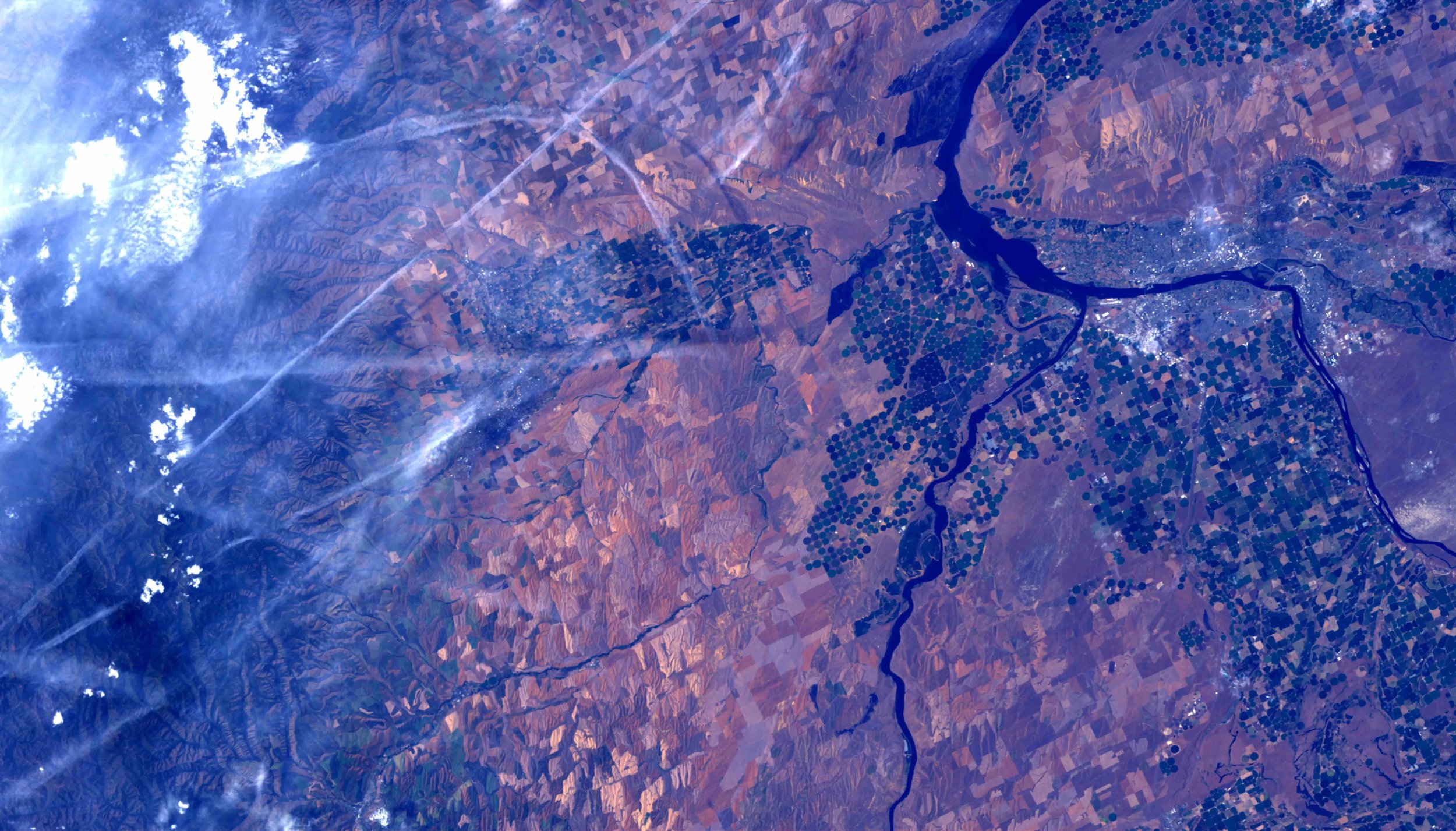
This is a beautiful RGB image, but it misses so many vital details that industries need.
In this hyperspectral image, every color tells a unique story about what is on the surface or in the air.

BECOME GEOSPATIALLY AWARE
A global encyclopedia.
Our Earth’s change is invisible to current satellites.
We catalog our Earth’s change through a new lens from space to derive brand new AI-driven insights on our environment on a global scale.